About the atlas
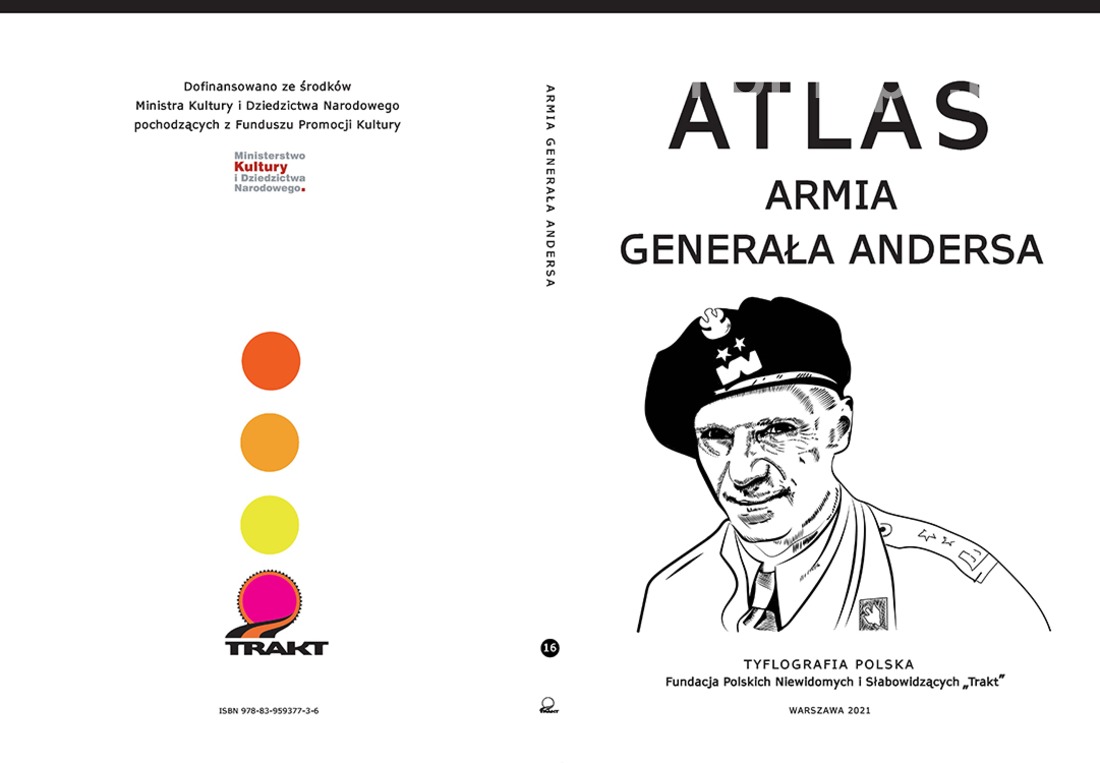
GENERAL ANDERS ARMY.
ATLAS FOR THE BLIND AND VISUALLY IMPAIRED
The project "General Anders' Army. Atlas for the Blind and Visually Impaired" has been co-financed by the Ministry of Culture and National Heritage from the Cultural Promotion Fund.
On 30 July 1941, the Sikorski-May Pact was signed, as a result of which Polish-Soviet diplomatic relations were established and an amnesty was declared for arrested Poles. This allowed many Poles (not all, however) to leave prisons, gulags, exile camps, and posiots and travel to recruitment points.
Thus, the term "amnesty" was redefined, as it covered those who were not criminals; nevertheless, the "acceptance" of such a provision allowed the formation of the Polish Army in the USSR to begin as early as mid-August. Some fought under the command of General Zygmunt Berling, others under General Władysław Anders, and the core of both armies were Siberians.
The Anders Army had its recruiting points on the Volga, near the town of Kuibyshev, in towns such as Buzuluk, Tockoye and Tatishchev, where future soldiers, but also crowds of deprived civilians: young people, women and children, applied. General Anders and his services made superhuman efforts to provide everyone with medical care, food and a roof over their heads, and this was very difficult, as the Soviet authorities provided quarters and rations only for the army (and these too were often unrealised).
This 'gulag' Army was headed by Major General Wladyslaw Anders, who was also imprisoned in the NKVD's central prison in Moscow's Lubianka. In October 1941, the army numbered 38,000 soldiers, and by the following March it was already over 65,000.
[...] It was the first time I had encountered the 17,000-strong soldier crowd that awaited my arrival. For the rest of my life I will not forget their appearance," recalled General Anders. - A huge part without shoes and without shirts. All actually in rags, partly in tattered old Polish uniforms, skinny as skeletons. Most covered in ulcers due to avitaminosis. But, to the amazement of the Bolsheviks accompanying me, headed by General Zhukov, they were all clean-shaven. And what a splendid soldierly attitude. My heart squeezed as I looked at these wretched men, and I asked myself in spirit whether they could still be made into an army and whether they would be able to endure the hardships of war that awaited them. The answer appeared immediately; it was enough to look into those shining eyes, from which will and faith shone [...].
With the support of the British, the first evacuation of soldiers and civilians was carried out between 24 March and 4 April 1942. The civilian population, mainly women and children, was mostly deployed during 1942-1943 in the numerous settlements in Asia and Africa that were being established. Iran took in the largest number of Polish exiles - 120,000 people, including 20,000 children; 5,000 Poles ended up in India, 10,000 in Africa, 3,500 in Lebanon, 720 in New Zealand, 830 in Palestine.
The deteriorating Polish-Soviet relations and the threat of a German attack on the Middle East oil fields decided on another evacuation. In August 1942, the rest of the Polish troops and more than 20,000 civilians were transported from Krasnowodsk across the Caspian Sea to the port of Pahlevi. Thus, General Władysław Anders led a total of 116,000 people, including 78,000 soldiers, out of the 'inhuman land'. The evacuation saved tens of thousands of people and, in a sense, one can speak - in contemporary language - of a humanitarian evacuation rather than the military undertaking that Anders' army was intended to be.
On 21 July 1943, in the town of Kirkuk in northern Iraq, the 2nd Corps was formed, consisting of both soldiers of the Independent Carpathian Rifle Brigade, experienced in fighting in North Africa (for Tobruk), and soldiers evacuated from the USSR, who were not fully trained.
At the beginning of 1944, General Anders and his soldiers landed in Italy. Units of the 2nd Corps, numbering 50,000, were subordinated to the British 8th Army.
The army began its march over the Volga River to cross the deserts of Central Asia into Iran, Iraq and then through Syria into Palestine and Egypt. From there, crossing the Mediterranean to reach Italy to fight at Monte Cassino or for Ancona and Bologna.
This beautiful army was commanded by General Władysław Anders, a man who never accepted the new post-war geopolitical reality, who did not live to see a free and democratic Poland. Józef Czapski, one of the founders of the Literary Institute in Maisons-Laffitte, portrayed Anders as a poised man who never raised his voice, who had full confidence in his colleagues, who was unhurried in his decisions but unyielding and quick to implement them. And our Atlas is also the story of the people saved and their General.
The information about Anders' army is very well compiled and presented on the Internet as well as in the form of publications of an album, memoir, historical-scientific or even reporter nature (e.g. Wańkowicz). The viewer can access them very easily and in an attractive way, which encourages interest in this interesting topic. The proposed project aims to make this wealth of information available to blind and partially sighted people, who have not yet had the opportunity to do so, as no publication has yet been produced in colour-convex technology, i.e. maps accessible by touch.
Promoting knowledge and, above all, providing information in a way that is user-friendly and easy to read for visually impaired people, is the aim we are pursuing with the preparation of the next studies in the series POLISH TYFLOGRAPHY. We have presented the previous studies in this series in the additional information and you can see that the topics of cultural heritage, national memory, expanding historical knowledge and education are close to our hearts, and the new proposed project fits in with the themes of this publishing series.
The publication "General Anders' Army" is a project aimed in particular at blind and visually impaired people. The main general geographic map will show the route of the Army, drawing attention to the hardships resulting from the barriers of the geographical environment - desert areas, mountainous, often dangerous, in extremely harsh climatic conditions. Subsequent charts will show close-ups - first of the places of formation of the units on the Volga River and in Uzbekistan, and then will show in fragments the evacuation route and the combat route of the 2nd Corps, through Italy to Great Britain.
The tiflomaps will allow the viewer to understand the hardships of this great evacuation and appreciate the heroism and determination of the Anders soldiers who travelled 12500 km (and some much more) and it was not given to them to liberate their homeland and, most tragically, not even to return to it safely.
Soldiers of the Anders Army are not only Poles, but also Byelorussians, Ukrainians, Jews, their individual stories, different reasons for joining the army, places of battles that have been written in the pages of history, cemeteries along the entire route of the march.... The last Anders soldiers are now passing away. Listening to their testimonies is essential to learn about their life experiences, to understand their determination, their patriotism, their love for their homeland....
We will produce descriptions for each map, which will be described in the publication in enlarged print (and/or in another form accessible to a visually impaired audience).
The atlas is an inseparable thematic whole and its completeness will consist of the following parts and activities:
A. colour tactile maps for the blind and visually impaired in 2xA3 (A2) format and A3 boards housed in a folder with Braille descriptions and a legend to the maps:
Board set:
1. 1941-1945. Route of the Army of General Władysław Anders (format 2xA3)
2. 1939-1941 Deportations of Polish citizens to the USSR (format A3)
3. 30.07.1941. Sikorski-Mayski Agreement. Amnesty for Polish citizens (format 2xA3)
4. 1941-1942. Central Asia. Formation and evacuation of the Anders Army (format 2xA3)
5. 1943. Middle East. Formation of the 2nd Polish Corps (format 2xA3)
6. 1943-1945 The Italian Campaign of the Anders Army (format 2xA3)
7. 1942-1945 The fate of civilians at the Anders Army (format 2xA3)
B. publication in enlarged print for the visually impaired containing descriptions of individual tiflomaps;
C. a booklet in Braille containing a list of explanations of Braille abbreviations used on the tiflomaps and an index of geographical names;
D. making all materials available in HTML format on the website of the "Trakt" Foundation and www.tyflomapy.pl.
The publication "General Anders' Army" is the first such publication in Poland providing and raising the level of knowledge in the visually impaired community. The publication aims to:
provide visually impaired people with as much information as possible in a readable and friendly manner about the combat trail of the Anders Army from the place of formation of the first units to the demobilisation in 1946 in Italy and the transport of soldiers to Great Britain;
provide teachers with an undoubtedly very valuable didactic aid that can be successfully used during history, social studies, Polish language and additional classes to broaden the interests of their pupils by building their cultural and historical identity. It can also be an important teaching aid in lessons on tactile drawing;
convey clearly and correctly the spatial location of the most important places of national remembrance, allowing them to further their own knowledge on the subject.
Our tiflomaps are not only useful for visually impaired people, but, through their simplicity and legibility, they are an excellent aid for the youngest and older recipients. In addition, the development of the Atlas meets the requirements of Universal Design for Learning (UDL), i.e. the implementation of the idea of inclusive education. Universality will be achieved by developing both tactile and colour versions of each map and by making the entire project available online. This broadens the audience - in addition to the blind and partially sighted community, carers, teachers and people interested in borderland subjects will benefit. In addition, the availability of the developed colour maps and texts on pages adapted for visually impaired people will facilitate their use virtually without restriction.
Number of sets - 150.
We wish you good reading
Please send questions and orders to publikacje@trakt.org.pl or by telephone +48 22 576 18 79 and +48 606 75 75 85.